About
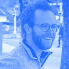
Florian Fichtner is a Geospatial Data Engineer at OroraTech. He’s responsible for the development and maintenance of diverse data pipelines and remote sensing algorithms. He holds a MSc in Geomatics from TU Delft and a BSc in Geography from Tübingen University. He worked as a GIS consultant in the Netherlands and for a telecommunications company analyzing anonymized movement patterns before fully shifting the focus to Earth Observation at German Aerospace Center (DLR). He is also Co-Organizer of Munich's Geospatial Meetup community Geoawesomeness.


